

Switching basemaps (Satellite / Vector)
Mundi provides multiple basemaps to help you visualize your data with different contextual backgrounds. By default, Mundi displays a traditional vector basemap. You can easily switch to a satellite imagery view for a more photorealistic context, or light/dark themed data visualization basemaps, or an outdoor-themed basemap. All basemaps in Mundi cloud are provided by MapTiler.
Selecting basemaps
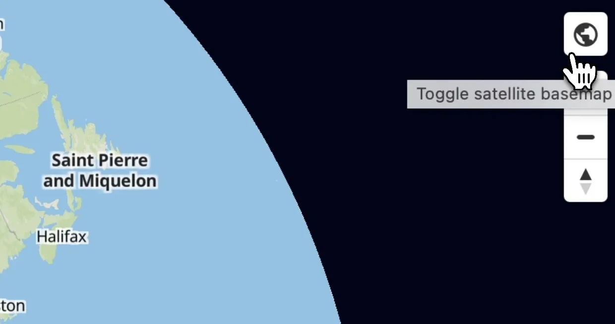
Section titled “Selecting basemaps”- To switch basemaps, locate the Choose basemap button in the top right corner of the map view. It is represented by a globe icon. (This was previously labelled Toggle satellite basemap.)
- Click the globe icon. You’ll be presented with a list of basemaps that are available. Clicking on a basemap will save it for that map, updating embedded maps as well.
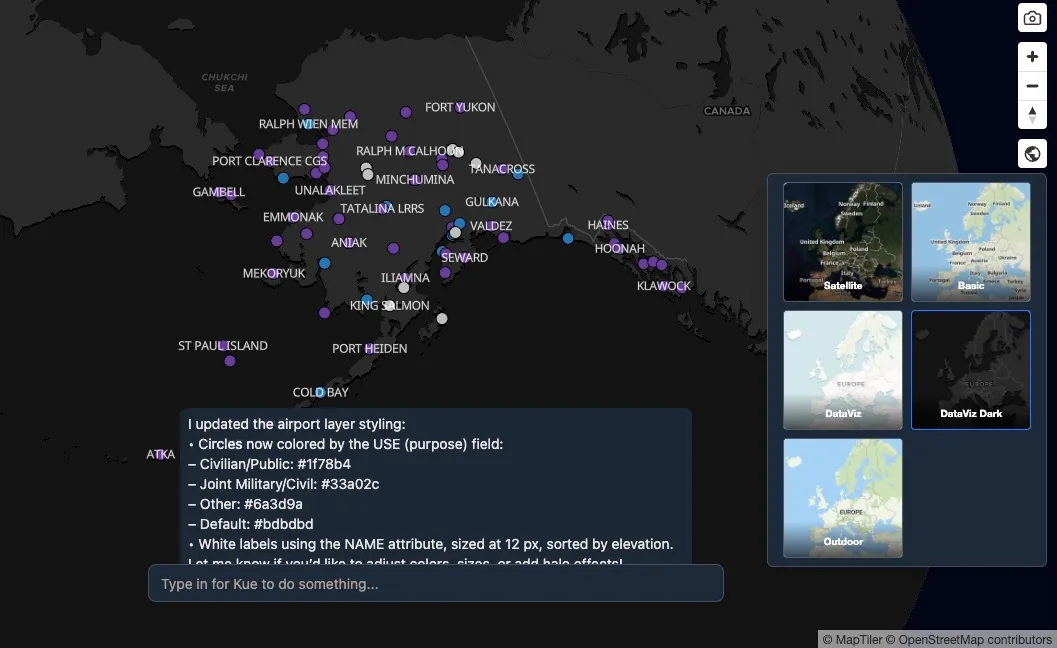
DataViz Dark
Section titled “DataViz Dark”Here, we’ve chosen the MapTiler’s DataViz Dark, which more clearly highlights the data we’ve uploaded, without the distracting vector basemap.
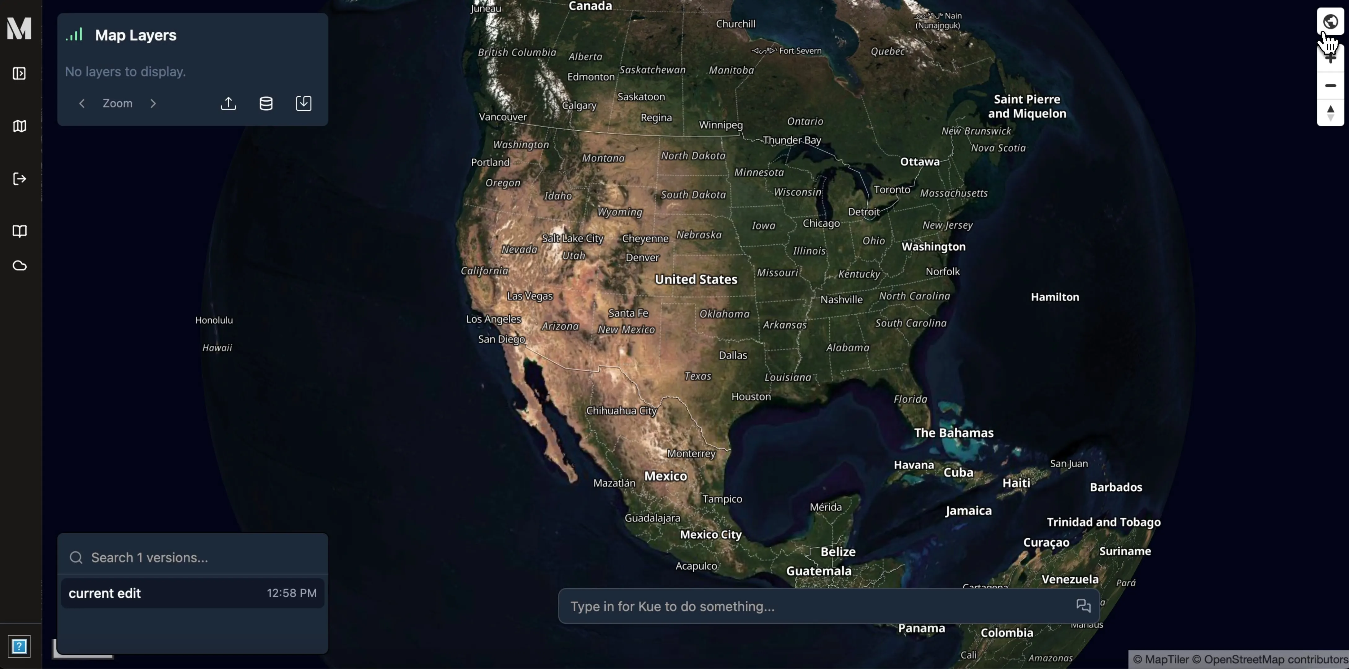
Satellite Hybrid
Section titled “Satellite Hybrid”Here, we can switch to a satellite basemap, which is useful when highlighting data in the context of the environment.
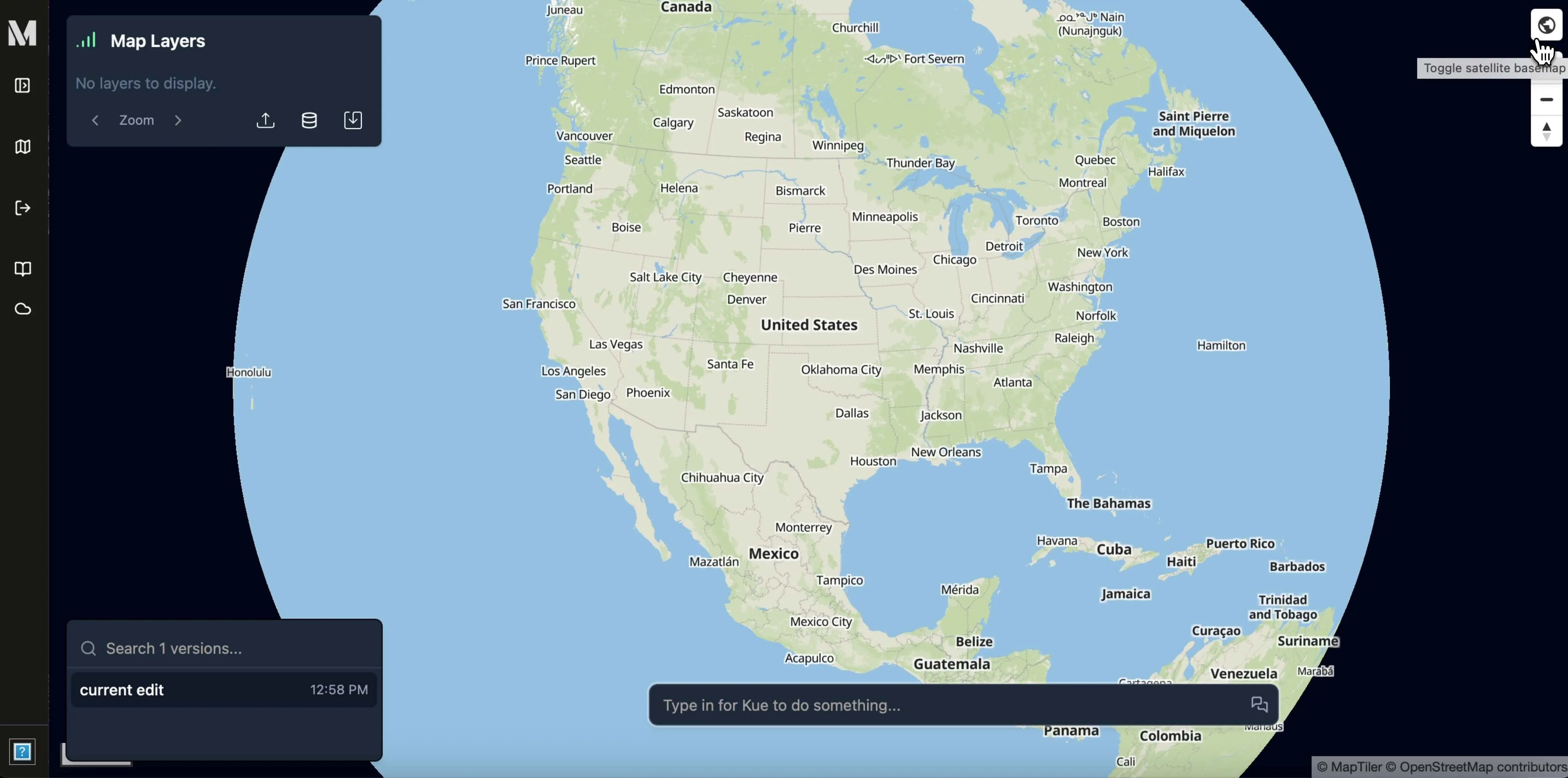
You can always switch back to the traditional vector basemap, which defaults to MapTiler’s Basic.
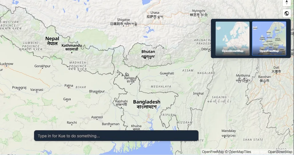
Basemaps in open source Mundi
Section titled “Basemaps in open source Mundi”Open source Mundi supports OpenStreetMap and OpenFreeMap as the default basemaps available. You can switch between them just like you would in cloud Mundi.
Writing your own basemaps
Section titled “Writing your own basemaps”To use your own custom basemaps in open source Mundi, you can
edit the src/dependencies/base_map.py file.