Geoprocessing with Kue and QGIS
Mundi’s AI agent, Kue, is integrated with QGIS’s geoprocessing algorithms. This means you can use QGIS’s 300+ algorithms from Mundi.
This tutorial demonstrates how to perform a common two-step geoprocessing task: reprojecting a layer to a suitable coordinate system and then creating a buffer around its features.
Reproject vectors to local CRS
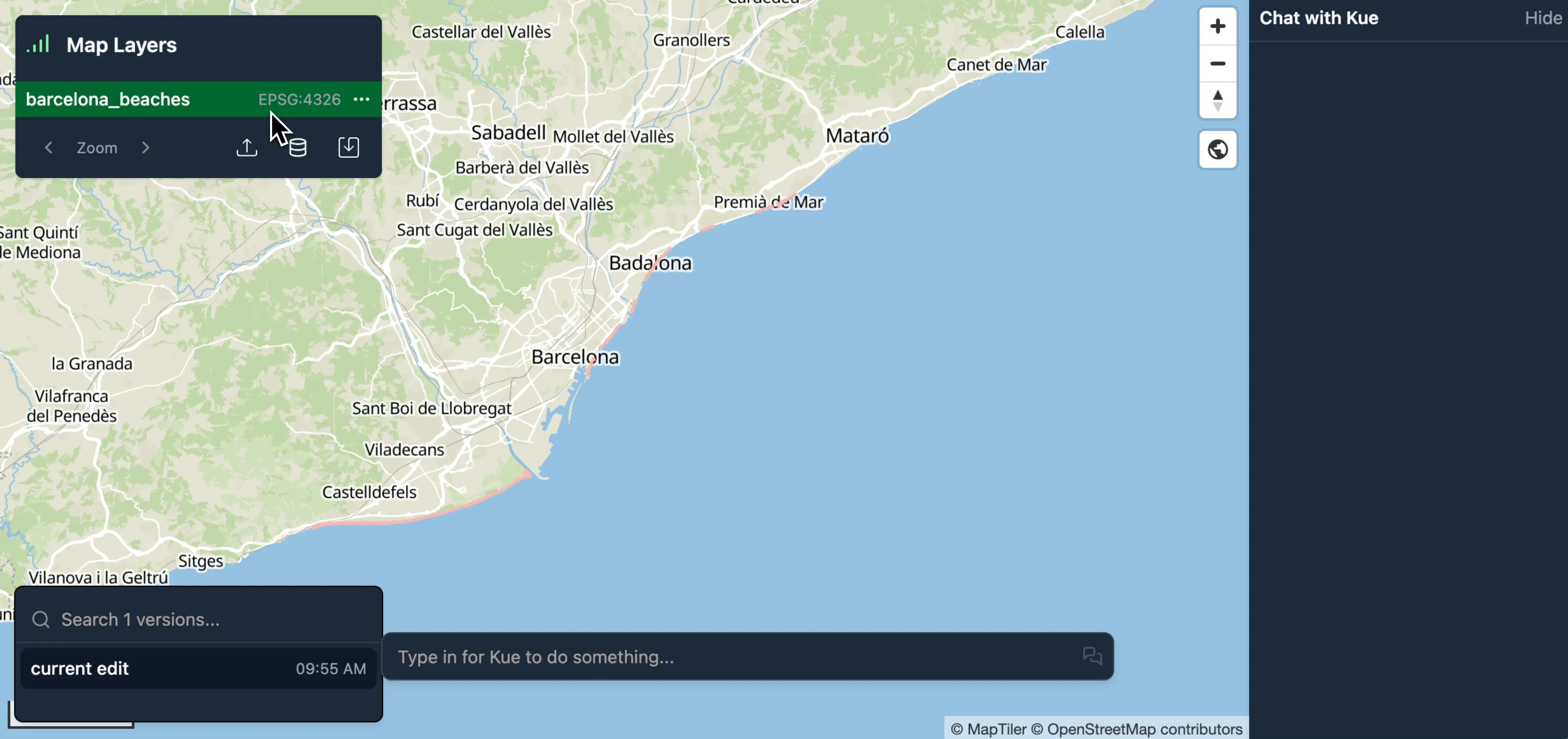
Section titled “Reproject vectors to local CRS”To begin, we’ll work with some beaches downloaded from OpenStreetMap that contain linestring geometries.
-
Drag and drop your data file onto the map.
-
Mundi will automatically load and display the layer.
Before we can create a buffer with a specific distance (e.g., 100 meters), we need to ensure our data is in a suitable Coordinate Reference System (CRS).
Our initial beaches layer is in a geographic CRS, EPSG:4326, where the units are in decimal degrees. Distance-based operations like buffering require a projected CRS where units are linear (like meters or feet). When hovering over a vector layer in the layer list, you’ll see the layer’s CRS.
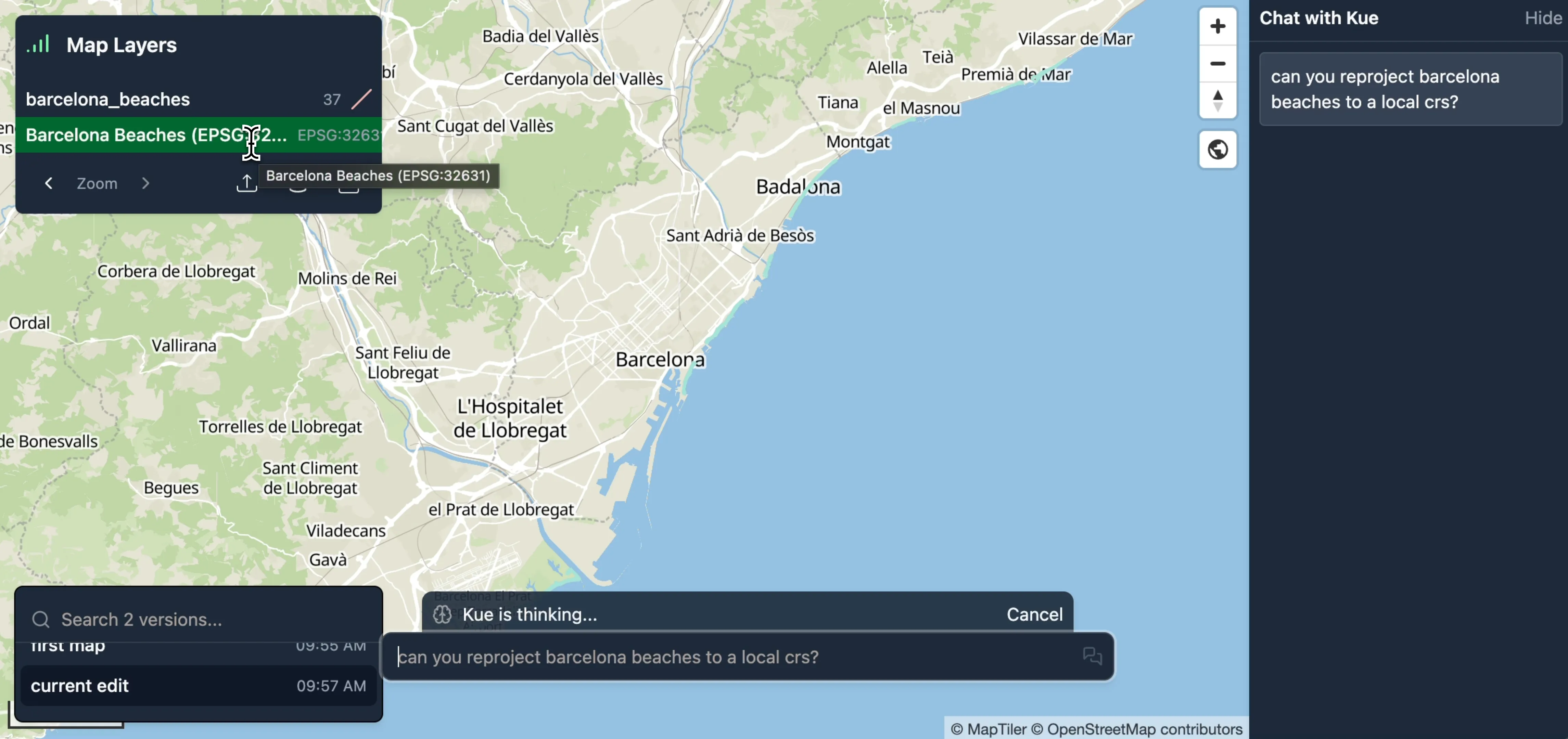
We can ask Kue to handle the reprojection for us. Mundi cloud uses frontier models that are intelligent enough to select the CRS for you, but depending on your local model choice, you may need to request the EPSG code specifically.
-
In the Kue chat box, type a request to reproject the layer.
can you reproject barcelona beaches to a local crs?
-
Kue will identify the correct QGIS algorithm (
native:reprojectlayer) and execute it, choosing EPSG:32631 (UTM Zone 31N) as the appropriate local CRS for Barcelona. -
A new, reprojected layer is added to your map.
Buffering by 100 meters
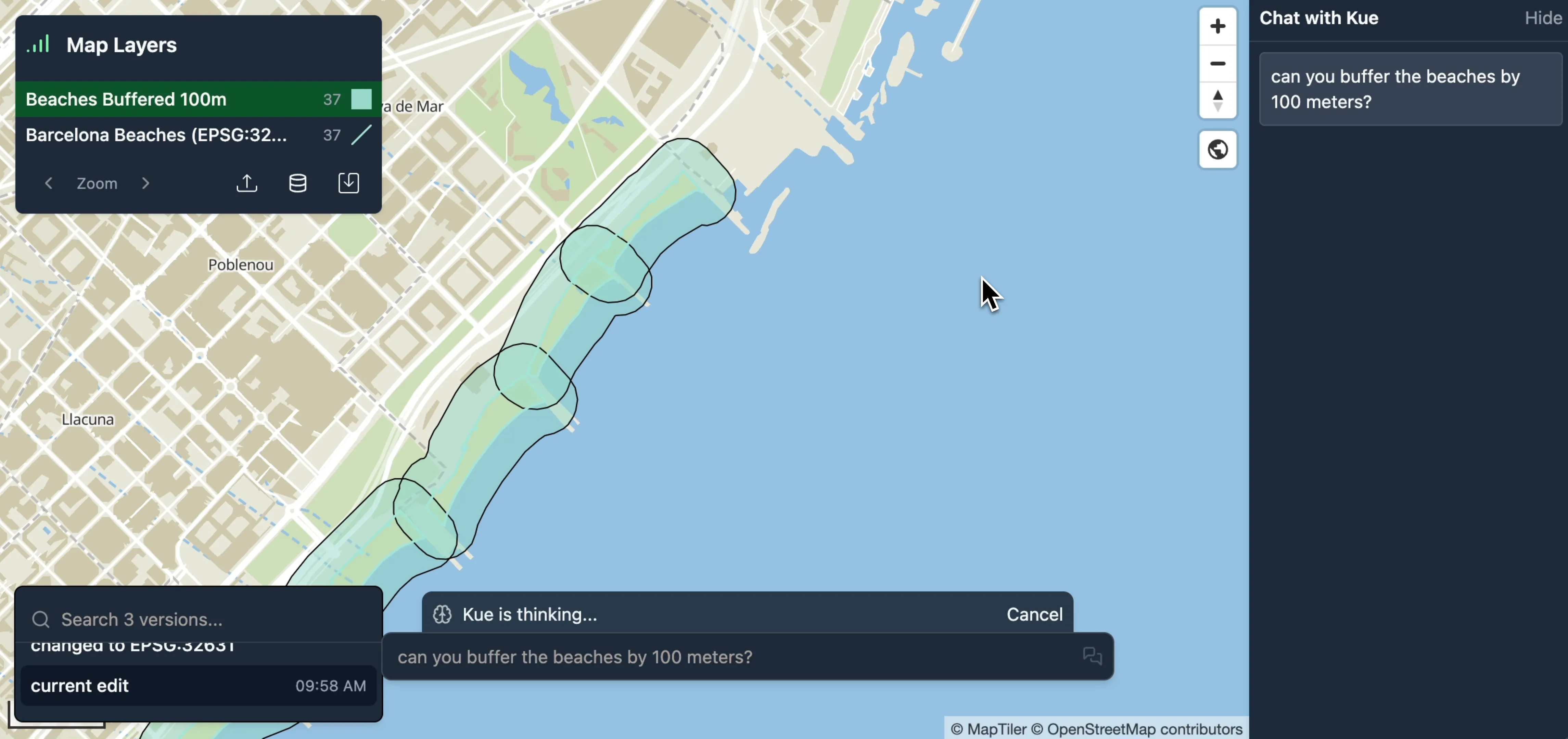
Section titled “Buffering by 100 meters”With the layer now in a projected CRS, we can create a buffer using metric units.
-
Ask Kue to buffer the newly reprojected layer. You can refer to the layer by its name.
can you buffer the beaches by 100 meters?
-
Kue will run the QGIS
native:bufferalgorithm. -
A new polygon layer named “Beaches Buffered 100m” is created and added to the map. Kue also applies a semi-transparent blue fill style for clear visualization.
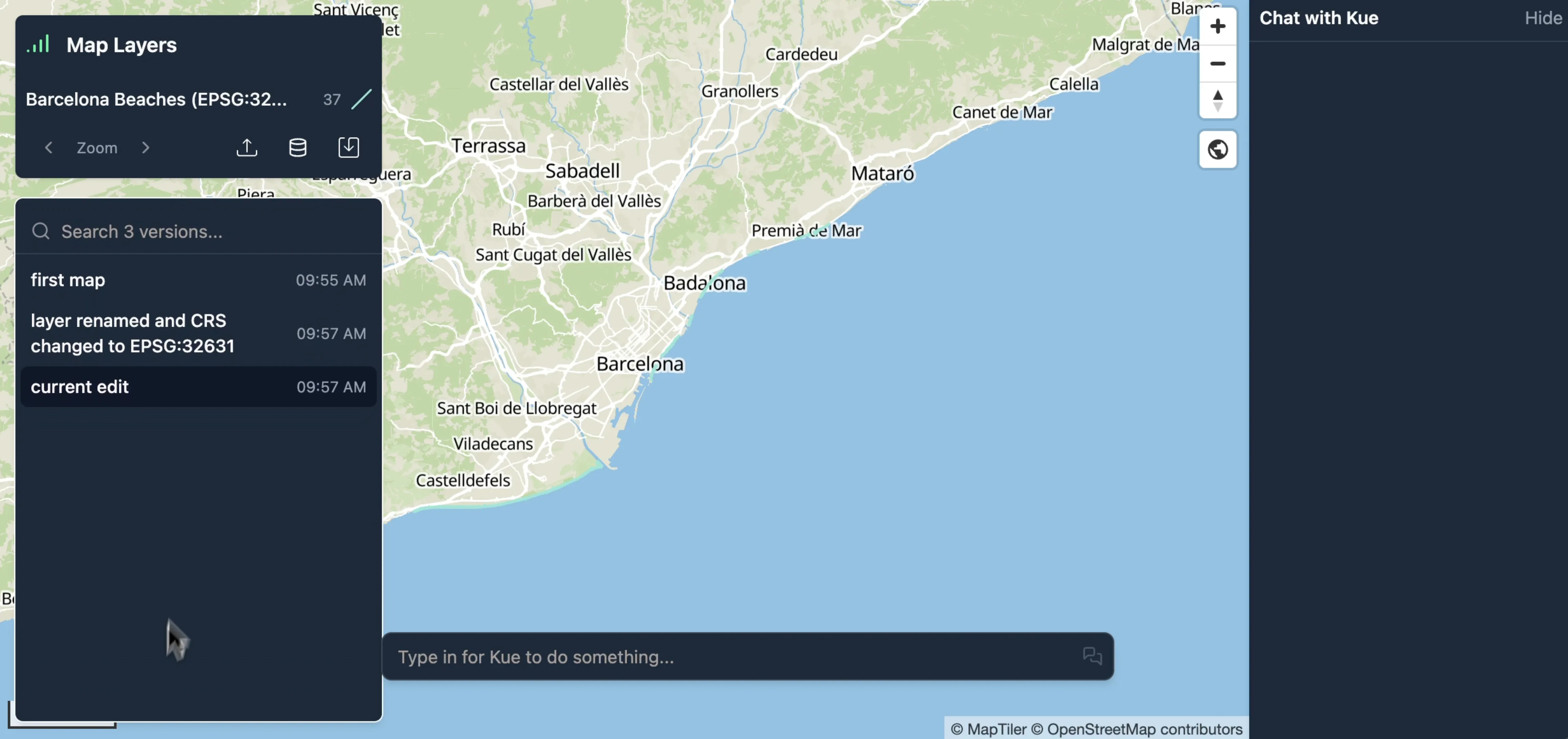
Managing Your Workflow with Versioning
Section titled “Managing Your Workflow with Versioning”As you perform these operations, Mundi’s built-in version control tracks every change.
-
Save snapshots: After each major step, like reprojecting or buffering, click the Save icon (fork) to create a new version of your map.
-
Clean up layers: You can delete intermediate layers (like the original
EPSG:4326layer) to keep your map tidy. -
Revert changes: If you make a mistake, you can always revert to a previous version of the map using the version history panel in the bottom-left corner.